
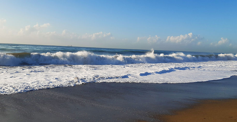
Large waves, pounding surf and elevated sea water levels are expected for eastern and northeastern Newfoundland
- Kyle Sooley-Brookings

- Jan 11, 2025
- 1 min read
An area of low pressure off the southern coast of Greenland will kick up some large waves, pounding surf and elevated sea water levels Sunday morning.
Areas including eastern and northeastern Newfoundland from the Baie Verte Peninsula to St. John's will see large waves. Waves of 5 to 8 metres are expected upon approach to shore.
High tide is expected to occur early Sunday morning between 4:30 a.m. and 8:30 a.m.
Shore or beach erosion and damage to coastal infrastructure is possible
Environment and Climate Change Canada has issued a special weather statement for:
Avalon Peninsula North
Bay of Exploits
Bonavista North
Bonavista Peninsula
Clarenville and vicinity
Green Bay - White Bay
St. John's and vicinity
Terra Nova
Find more details in the Marine Forecast.


Comments