It looks like a Christmas Day Snowstorm
- Kyle Sooley-Brookings

- Dec 22, 2025
- 1 min read

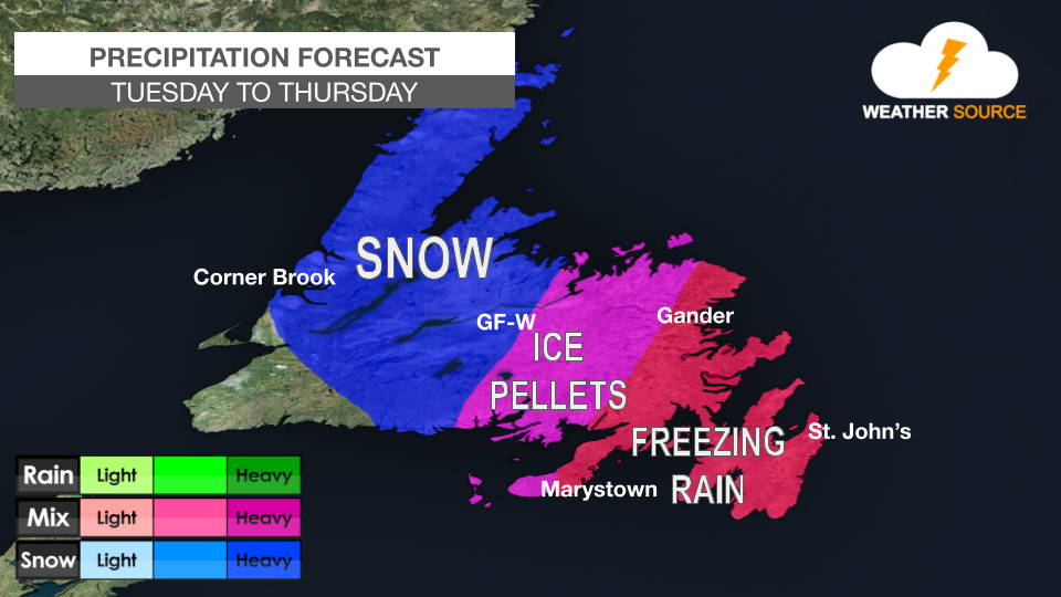
An area of low pressure is expected to pass east of eastern Newfoundland on Christmas Day, bringing snow and strong winds to eastern areas.
The centre of the low will pass offshore, and it looks as though the rain will stay offshore.
The snow is expected to begin early in the morning on Thursday and continue through the day.
Although there is still some model discrepancy, it looks like the Avalon Peninsula, Bonavista Peninsula, and Bonavista North will get the most snow, with amounts between 20 and 30 cm possible.
Winds are also expected to gust between 60 and 80 km/h.
Another low is expected on Saturday with potentially a similar outcome.


Comments