
Another storm on the way for Monday
- Kyle Sooley-Brookings

- Jan 17
- 1 min read

Guess what Newfoundland? Another storm is on the way for Monday.
It seems like we contend with a storm just about every Monday, and this week will be no different as an area of low pressure approaches us from the south.
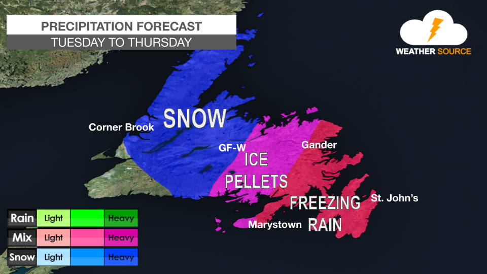
Significant snowfall is expected for southwestern, western, central, northeastern, and northern Newfoundland, with over 15 cm expected from early Monday morning until Monday evening.
Clarenville, the Bonavista Peninsula, Terra Nova, and Connaigre will see a mix of precipitation with snow, ice pellets, freezing rain, and rain expected. While it is difficult to nail down specifics for this area, some locations could see 10 cm of snow, up to 5 mm of freezing rain, and 15 mm of rain.
On the Avalon and Burin Peninsulas, precipitation will be in the form of rain with up to 50 mm possible. Winds will also gust to near 100 km/h on Monday afternoon and Monday evening.
With significant snowfall, mixed precipitation, heavy rain and strong winds forecast across Newfoundland and Labrador on Monday, here are some things to keep in mind:
Avoid unnecessary travel and allow extra time for commutes. Use caution when driving high-profile vehicles.
Keep an emergency kit in homes and vehicles, including food, water, blankets and a flashlight. Power outages are possible; keep phones charged and flashlights handy.
Use caution when walking on untreated sidewalks and driveways.
Secure loose outdoor items, including garbage bins and patio furniture.
Watch for localized flooding in low-lying and poor drainage areas.


Comments